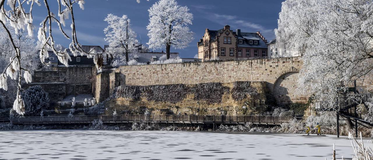
Hohleborn
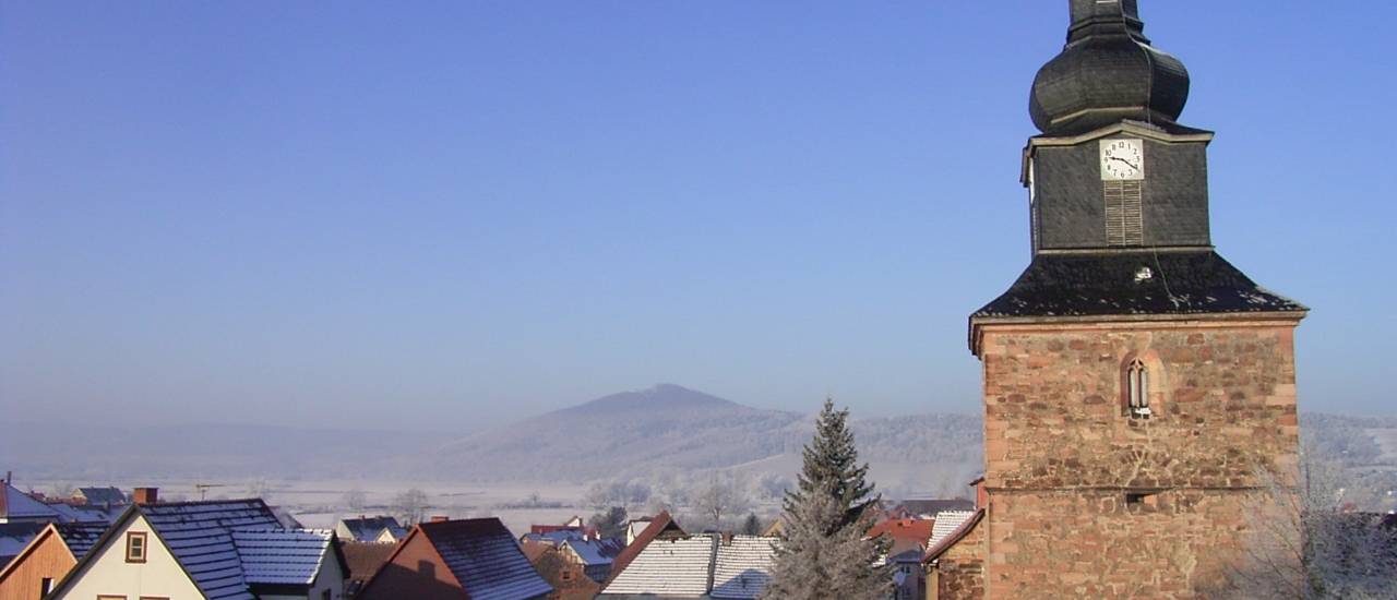
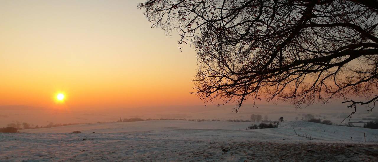
The district of Hohleborn is about four kilometres from the centre of Bad Salzungen and two kilometres from the disctrict of Langenfeld. Hohleborn is a village and agricultural town. About 50 people live here on an area of 149 hectares. In the immediate vicinity of Hohleborn lies the "Hundskopf", a popular destination for hikers. A cycle and hiking trail to the "Hundskopf" leads through the village.
The village, which can be traced back to a farm complex, was first mentioned in a document on the 1st of December 1312. The village of Hohloborn was already connected to the neighbouring village of Langenfeld in the Middle Ages, where the church, school and tavern were located.
The place name indicates a special fountain, from literature it is known, that the Hohleborn spring had temporarily dried up. Thanks to subsequent excavations, the water-bearing layer was hit again and now fills a small pond in the village. The Salzunger Pfännerschaft also looked for further salt springs in the Hohleborn area.
During the Thirty Years' War, Hohleborn became a desert for decades. The data from the Langenfeld church chronicle of Walch named three farms, which were plundered and burned several times by the warring parties. The survivors left the village and lived in Langenfeld and Salzungen. In 1705 six inhabitants of Langenfeld dared to rebuild the settlement.
In 1950 Hohleborn became a village in the newly founded district of Bad Salzungen. In 1973, Langenfeld and Kaltenborn were incorporated into the urban area of Bad Salzungen. The agricultural town also has a forester's lodge.
In 2012, the small district, in which almost 50 people live, celebrated its 700th anniversary.
